
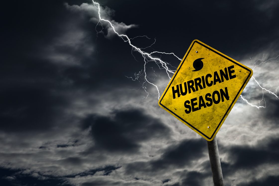
Here’s another article from our Insurance mentor, David Thompson of the Florida Association of Independent Agents.
“My patience for people who discount the threat of a hurricane by saying, “It’s only a Category 1,” is growing very thin.
While I’m not a meteorologist, as a Florida native I think I’ve learned enough about hurricanes to know, “The only thing that is certain about hurricanes is that nothing is certain.”
Said another way, forecasting the intensity and landfall locations is far from exact.
I live in a homeowners’ association with 258 homes and I know of only three other homes occupied by Florida natives.
The vast majority of residents come from northern states, and very few have ever been through a major hurricane, let alone, “Just a Category 1” hurricane.
Hurricane Nicole is a perfect example, hitting Vero Beach on November 10, 2022.
(A somewhat late-season storm.) Nicole was only a named hurricane for 13 hours and the National Hurricane Center storm history shows maximum sustained winds were 65 knots, or about 75 miles per hour.
The eye passed directly over my house in Indian River County. Driving around town the next day, I saw very little damage.
A few traffic signs were blown down and some small tree limbs were on the ground; otherwise, there wasn’t even enough damage to photograph.
Several of the residents here have said to me, “I was in Nicole so I’m not worried.”
The reality is that, in my book, Nicole was not a hurricane and certainly not a hurricane to use as the “judge” for future hurricanes.
Consider the destruction from these other “Cat 1” hurricanes:
Hurricane Michael, 2018
Hurricane Michael hit the Panama City area. It went from a Category 1 to a Category 5 in just 53 hours. It was termed “explosive intensification” by many authorities.
Hurricane Otis, 2023
Hurricane Otis hit Mexico. It went from a tropical storm to a Category 5 hurricane in just 13 hours. It was also termed “explosive intensification” by many authorities.
Hurricanes Charlie (2004) and Ian (2022)
The forecasts indicated these two storms would hit the Tampa Bay area. They “didn’t get the memo” and each hurricane made a turn to the right before coming ashore near Punta Gorda and Ft. Myers Beach, respectively. Both storms tore across Florida, exiting into the Atlantic as hurricanes. At the Orlando airport, winds peaked at 104 miles per hour during Hurricane Charlie.
Hurricane Beryl, 2024
This hurricane came ashore south of Houston, Texas. The town of Plainfield, Vermont (about 1,900 road miles away) saw severe flooding that locals termed “A one in one-thousand-year flood.” More than 100 people had to be rescued by swift water teams.
Hurricane Debby, 2024
Hurricane Debby came ashore in the “Big Bend” area of Florida. The landfall location was close to that of Hurricane Idalia from the year before. Torrential rains hit Florida, Georgia, and South Carolina. Lake City, Florida, got the most rain at just under 20 inches, while the Sarasota/Bradenton area received 18 inches. It should be noted that some of the worst areas of flooding were not on the Gulf of Mexico and were, instead, far inland.
An article in the Insurance Journal reported that 76 percent of all flooded properties in Hurricane Debby were outside flood zones A and V; in other words, these properties were located in the low-risk zones (B, C, and X) where flood insurance is not required by lenders. Early estimates are that Debby caused $12.9 billion in damages, with $9.7 billion of that being in the low-risk zones. A significant majority of those structures are likely uninsured.
A long-time friend and fellow “Insurance Nerd” sent me a photo of a house that he insures in southwest Florida. The homeowners policy had a dwelling coverage limit of $950,000. A flood insurance quote for maximum NFIP limits was rejected (in writing) by the customer. The annual premium was $825…or $2.26 per day. The photo showed two cars (three more could not be seen) with water above the top of the tires. The agent estimated the damage at, “north of $400.000.”
Hurricane Ernesto, 2024
This Category 1 hurricane never made landfall in the US, instead hitting Bermuda with hurricane force winds. Two days later when Ernesto was hundreds of miles offshore in the Atlantic Ocean in the vicinity of Newfoundland, up to 16 inches of rain fell on parts of New York, Connecticut, and New Jersey. Significant flood damage was reported in many parts of Connecticut. An emergency management official in Connecticut referred to the rain as a “one-thousand-year event.” At the same time, 1,700 miles from Florida there were riptide warnings and rough surf warnings posted for the entire state.
Hurricane Hillary, 2023
In October of 2023, Hurricane Hillary came ashore in California. The center of the storm passed within five miles of the Furnace Creek Visitor Center in Death Valley National Park. The hottest temperature ever recorded on earth was July 10, 1934, when the thermometer read 134 degrees. (I’ve been there, and it really is a “dry heat!”) The park averages just under two inches of rain per year; during Hillary, 2.21 inches was recorded in under 24 hours. The park was totally closed for over two months due to the rainfall. A similar incident was recorded just a year earlier when 1.7 inches of rain fell in one day. The National Weather Service termed that, “A one-thousand-year event.” (Gee whiz, that term has been used a lot the past few years!”
Too many people seem to discount the possible damage that a Category 1 storm can cause. Many also rely too much on the early forecasted track, not realizing that almost all hurricanes change course almost hourly.
THE TAKEAWAY
- Forecasting hurricane intensity and tracks are unreliable. Tracks and intensity often change, at times dramatically.
- Damage from any hurricane (even “just a Category 1”) can be catastrophic.
- Hurricane damage is not confined to coastal areas or the “center point” of where a hurricane came ashore. Flooding, especially, can cause damage far inland and far away from the landfall site.
- Many structures sustain catastrophic flood damage, even far inland.
- A significant number of structures that flood during a hurricane (or any weather event for that matter) are uninsured.
- Federal Emergency Management Agency (FEMA) assistance after a disaster is limited, most times a grant that must be repaid. “
Hurricane Helene was predicted to be a Category 1 until just before it made landfall as a Category 3/4.
We now know the massive destruction it caused to not only Florida, but Georgia, and the Carolinas.
Bottom line: Be prepared, even (especially) if the Experts predict it will “only be a Category 1.”
And make sure you have both Hazard and Flood insurance policies in force to protect you and your family.
Low rates, choice of companies and personal advice from local agents:
Cronin Insurance is the Wise Choice.